Inventory Control
UAV Volumetric Scanning can add invaluable data precession to your inventory control operations
Our Volumetric Scanning services combine the analytical capabilities of powerful software with the speed and precision of UAV technology. The applications of this technology facilitate an advanced inventory control tool for your enterprise. By adding this service to your normal operations, you gain detailed insight of your resource inventory, empowering you to save time and money all while eliminating the need to measure material manually.
Why UAVs for Inventory Control?
Having a precise appraisal of your assets is key in maximizing profits. The difference of a few pounds of material could be the deciding factor in meeting a shipment or jeopardizing a project. With our service, this variable is carefully calculated so that you never have to rely on book inventory figures alone.
How do we use our Technology?
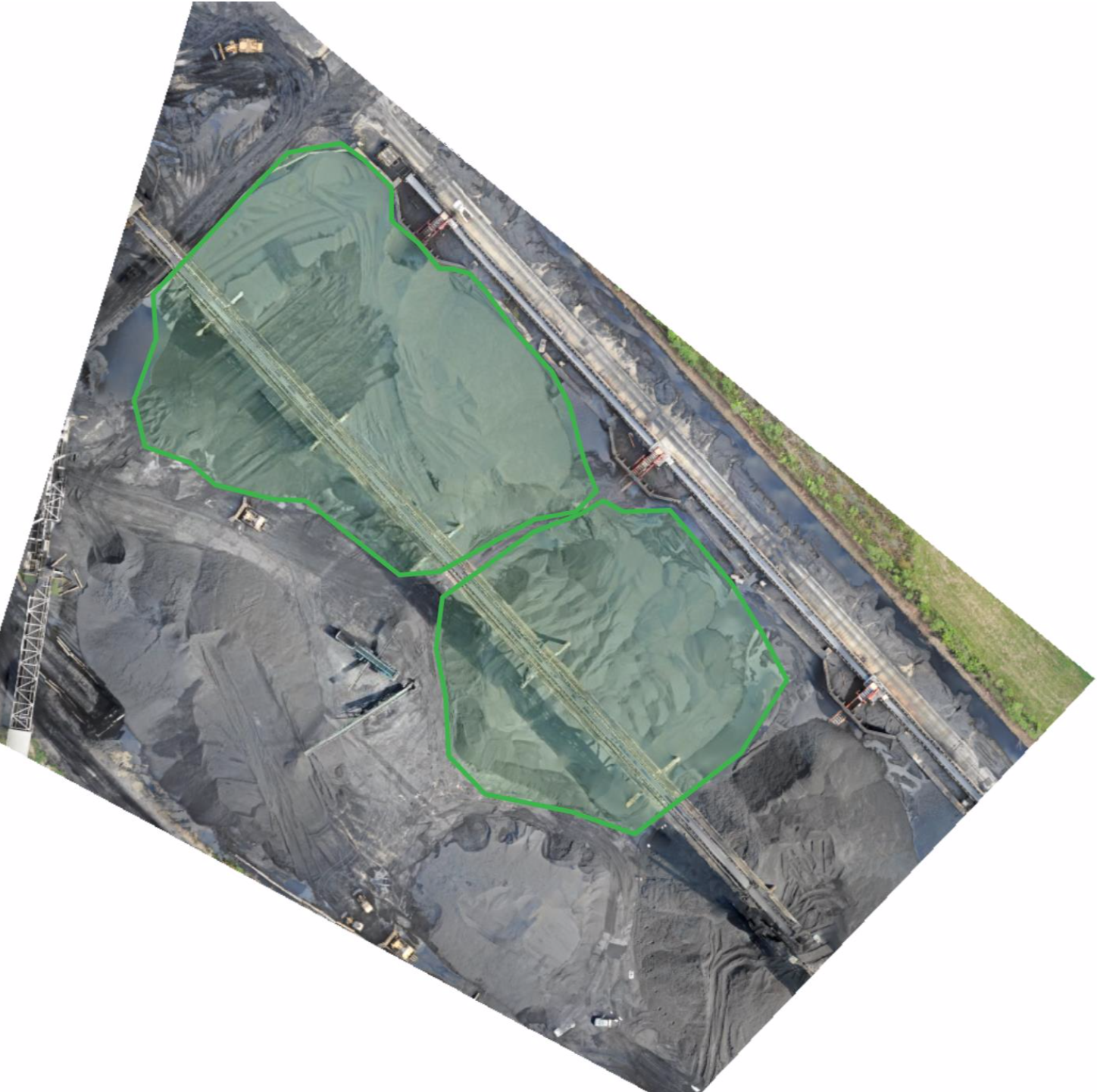
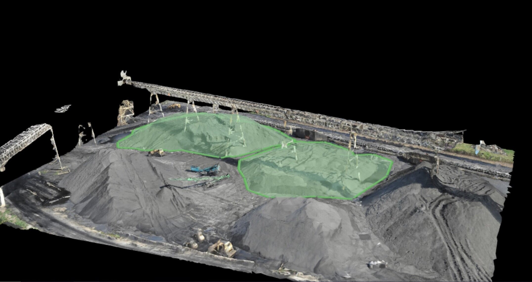
Our pilots will plot a 3D mesh of any resource aggregate, pile, or material holding area to analyze its mass, weight and density. The UAV is remotely piloted while using autonomous software to conduct our onsite surveys. Our drone technology utilizes Real-Time Kinematics to make corrections in flight to ensure the accuracy of the data. As an added layer of accuracy, we can set out Ground Control Points (GCP’s) to deliver sub-centimeter accuracy.
We take into account all variables such as moisture levels and loss percentage while performing scans so that the figures we provide are throughout and accurate.
We’ve applied this technology to aiding firms in assessing material shipment sizes, inventory loss percentages due to transportation, dredging martial control and construction site resource aggregates. AET has helped save countless hours of time and money for our clients using Volumetric Scanning.
See the Work We’ve Done Already
As we measure inventories using volumetric we carefully record data in the following format:


