

Invasive Species Services
Alpha Eagle Technology uses a combination of Unmanned Aerial Vehicles and ground surveys to locate targeted invasive species. Uniquely verified signatures are identified from field surveys in concert with imagery interpretation and used to create invasive species distribution maps from digitized orthomosaic imagery developed from UAV data.
AET uses the RedEdge-MX imaging system which is a rugged and precise multispectral camera for advanced agricultural analysis. This high-performance tool captures both the spectral bands required for crop health indices (green, red, red edge and near-infrared), a blue band for deeper insights into specific issues, plus composite RGB imagery. We then use the regular rgb camera to compare with the rededge mx.
All reports are easily accessible online using the most advanced technology software. Your custom reports will be made available any time, anywhere! Check out a sample report below.
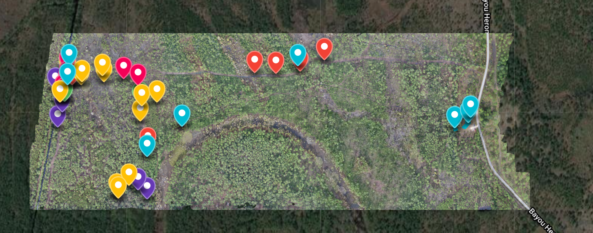


Click to view a sample invasive species report.
Free Consultation
Fill out the form and one of our specialists will be in touch to set up your consultation.